Often, when people imagine the risks that an oil pipeline poses to the environment they think of oil spills and carbon emissions. While these are major threats to water and the future of the climate, many don’t realize that the pipeline construction process itself can be disruptive to ground and surface water and can degrade key ecosystems.
In constructing Line 3/93, Enbridge dug deeply into the earth to lay their pipeline, slicing a straight line through complex, interwoven ecosystems and water bodies. Linear construction projects like this are designed around human construction priorities, not natural structures, and can lead to major disruptions in ecosystems.
Enbridge was particularly reckless in the Line 3/93 construction process and did not make adequate efforts to avoid wetland areas that are sensitive to destructive construction impacts. They:
opted not to conduct a thorough study of the geology and hydrology of the areas where they proposed to build their pipeline
routinely dug deeper than was advised by their own consultants or by prudent geologic practices
have over-heated 337 miles of the earth because the pipeline itself is so hot
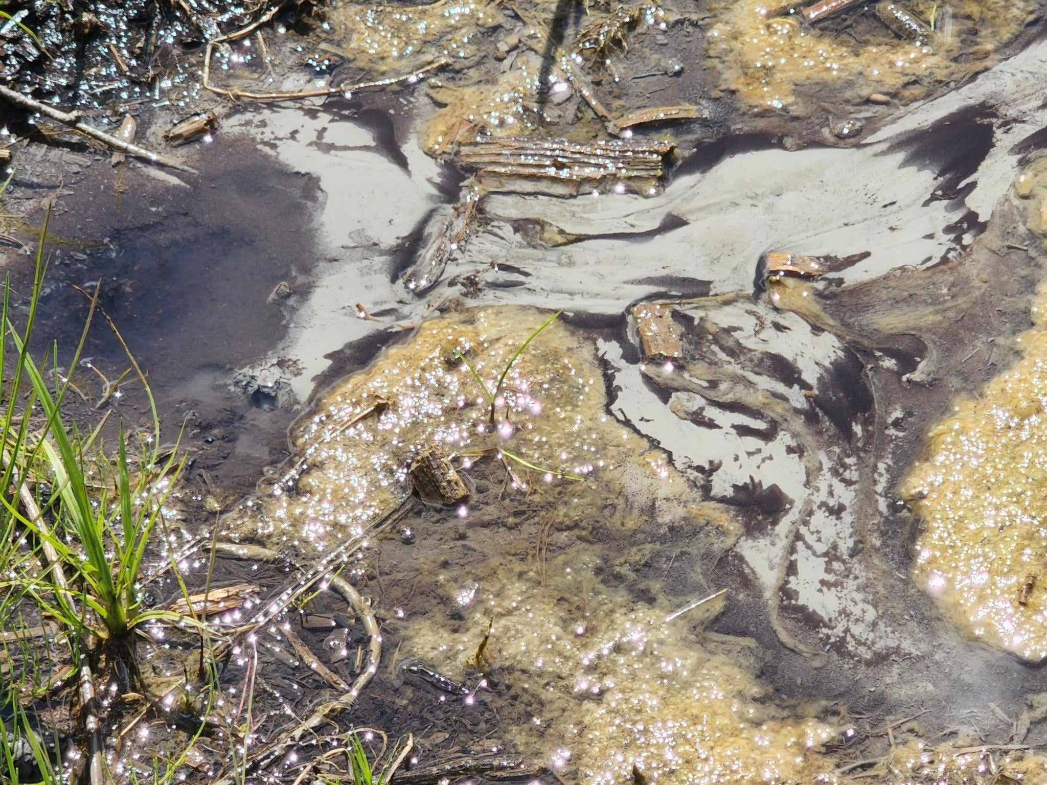
In mid-December, Waadookawaad Amikwag discovered hot upwelling water present at the Enbridge breach site near Fond du Lac Reservation. (Thermal drone image from FDL Breach shows 91.4°F upwelling water.) Typically our Field volunteers find upwelling water at 45-50°F, yet these recordings measuring from 80-99.9°F in mid-winter were extremely concerning. Our team is further investigating as these upwellings appear to violate Minnesota National Pollutant Discharge Elimination System (NPDES) permitting, which limits water discharges to a maximum of 80°F.
Above is a 5/9/23 Walker Brook overview, prior to Enbridge’s latest round of remediation work. Below photo shows thermal drone measures of temperatures over 90°F in upwelling water near Fond du Lac breach site (Enbridge’s MP1102.5 breach).
Line 3/93 Construction Damages
Aquifer Breaches
Enbridge punctured confined aquifers all along the pipeline route, unnaturally releasing thousands of gallons of groundwater to the surface.
Threats to Manoomin
As aquifer breaches change the temperature and chemistry of surface water across the state, they threaten the ecosystems of sensitive manoomin, which is an essential cultural food held sacred by Anishinaabe people.
Frac-outs
Enbridge used Horizontal Directional Drilling for 19 water crossings. At ⅔ of those sites they caused “frac-outs,” or accidental releases of drilling mud and chemicals into the land and water.
“Remediation” Damages
When Enbridge returns to sites to “remediate” construction damages they routinely cause further harm.
Dewatering and aquifer drawdown
In various places along the corridor, construction resulted in permanent drawdown of the water table, compaction of aquifers, and dewatering of wetlands.
Wetland Destruction
Enbridge tore up, compacted, dewatered, or otherwise disrupted hundreds of miles of wetland ecosystems in construction Line 3. Those permanent damages cannot be remediated.
This is a “site tour” of 11 locations along Enbridge’s Line 3/93 corridor. This footage shows a variety of Enbridge’s construction damages beginning on the west side of Minnesota, along the Red River of the north; and ending on the east side of the state 400 feet west of the Fond du Lac Reservation. Most of this footage is from summer, in 2023.
Enbridge's Line 3/93 Damaged Site Tour- Summer 2023
So far, MN state agencies and the media have publicly acknowledged four aquifer breaches caused my the construction of Line 3/93: the Clearbrook Terminal in Clearwater County, LaSalle Creek also in Clearwater County, Moose Lake in Aitkin County, and at Fond du Lac in Carlton County. Waadookawaad Amikwag, unfortunately, has evidence of many more aquifer breaches which we will see in this video.


